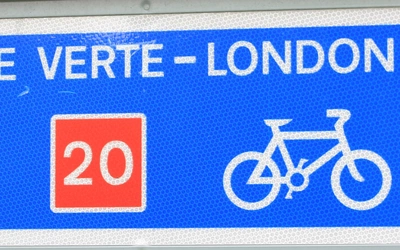
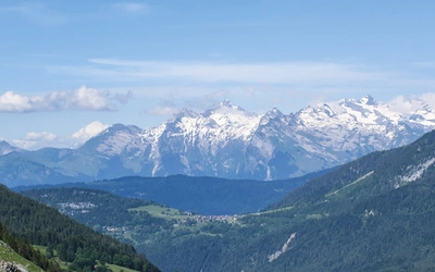
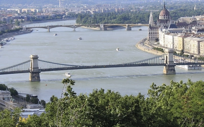
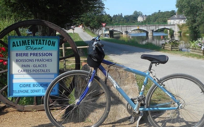
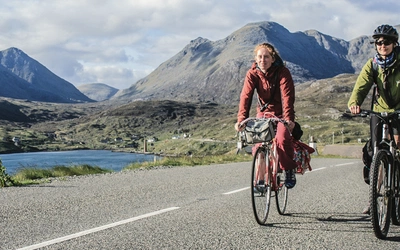
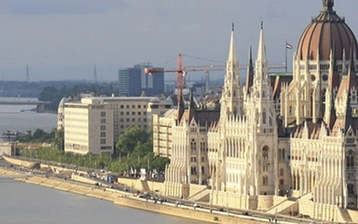
Cycle Touring in France

 
Eight one- or two-week cycle tours selected to offer cyclists of all levels a taste of France’s diverse landscapes and superb scenery. Covering some of the most picturesque parts of Brittany, Picardy, Alsace, Auvergne/Languedoc, Provence, Dordogne/Lot, the Alps and the Pyrenees.
 

Cycle Touring in France

Eight selected cycle tours
Author
Cover
Paperback - Laminated
Edition
First
Expand
ISBN_13
9781852844325
Availability
Reprinted

Price

£14.00

Basket
Search inside this Book
Book search powered by Google
Cover of Cycle Touring in France
View images
 
Seasons
Late spring to early autumn recommended. Summer hot, mostly dry. Winters can be cold, with snow.
Centres
Paris, Strasbourg, Geneva, Arles, Brest, Toulouse.
Difficulty
All levels. Routes (209km–354km) divided into daily stages. Range from low-level rides to high mountain climbs.
Must See
Rugged Brittany coast, Gorges du Tarn, Tour de France routes, Dordogne villages, Alsace Wine Road, lavender fields of Provence.


The blue IGN (Institut Geographic National) 1:100 000 Carte Topographique Top 100 maps are highly recommended for the tours in this guide. There are 74 in all, covering the whole of France. They are detailed maps complete with contour lines, aimed especially at cyclists and walkers. Most good bookshops can order them in, or you can buy them online at www.stanfords.co.uk or www.mapsworldwide.com.

This is a list of the relevant map numbers for the tours in this guidebook:

•    Brittany tour 13 (Brest/Quimper), 14 (St Brieuc/Morlaix)

•    Marne Valley and Picardy tour 09 (Paris/Laon)

•    Alsace tour 12 (Strasbourg/Forbach), 31 (St Dié/Mulhouse/Basle)

•    Alps tour 45 (Annecy/Lausanne), 53 (Grenoble/Mont Blanc), 54 (Grenoble/Gap)

•    Provence tour 60 (Cavaillon/Digne les Bains), 66 (Avignon/Montpellier), 67 (Marseille/Carpentras)

•    Pyrénées tour 70 (Pau/Bagnères de Luchon), 71 (St Gaudens/Andorre)

•    Dordogne and Lot tour 48 (Périgueux/Tulle), 57 (Cahors/Montauban)

•    Auvergne and Languedoc tour 49 (Clermont-Ferrand/Aurillac), 58 (Rodez/Mende), 59 (Privas/Alès)

Michelin publish the very useful France 1:200 000 Motorist and Motoring Atlas, updated annually. It covers the whole of France, indicates most recommended campsites, and includes some city and town maps. The campsites in this atlas are described in detail in Michelin’s Camping Caravaning le guide, which is also updated annually.

 
Hosting by OUTSRC