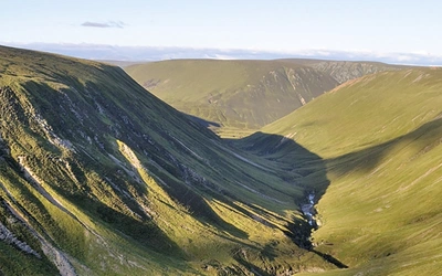
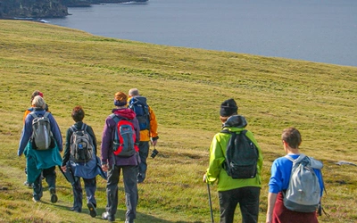
Walk The Speyside Way, Dava Way and Moray Coast Trail

Cover of The Speyside Way

Download (PDF)

Availability
Published
Published
12 Nov 2010
Edition
First
ISBN
9781852846060
Expand
Size
17.2 x 11.6 x 1.4cm
Weight
250g
Pages
224
Originally Published
12 Nov 2010

The Speyside Way

by Alan Castle

The Speyside Way long-distance trail runs for 66 miles beside the river Spey from Aviemore to Buckie on the Moray coast. The connecting Dava Way and Moray Coast Trail are also described, and can be walked in their own right or linked to create a longer walk. Includes information for mountain bikers who can tackle most of the routes described. More...

Buy from Cicerone

Printed Book
Adobe Digital eBook  (more)
Printed Book + eBook  SAVE £6.48

Other eBook formats  (more information)

Kindle
Amazon Kindle Store
 

Seasons

The Speyside Way is suitable in all seasons, apart from Prologue which is unsafe in winter except Read More... for experienced backpackers; late spring and early autumn particularly good; limited facilities in winter for most locations visited

Centres

Newtonmore, Kingussie, Aviemore, Grantown-on-Spey, Aberlour, Craigellachie, Fochabers, Tomintoul, Read More... Dufftown, Forres, Findhorn, Burghead, Lossiemouth, Findochty, Cullen. Also Spean Bridge, Roy Bridge, Fort Augustus

Difficulty

generally easy and well waymarked trails suitable for walkers of most abilities; Prologue routes Read More... are recommended for experienced and well equipped walkers only as they are not waymarked and include trackless routes over remote country

Must See

The Speyside Way, Dava Way, Moray Coast Trail and Moray Way plus wilderness trails to source of Read More... Spey; numerous whisky distilleries, disused railway tracks and heritage railways, broad strath of Speyside, scenic coastal fishing settlements and abundant wildlife


View Sample Route Map

Speyside Way: Stage 1

Aviemore to Boat of Garten


Distance 6 miles/9.7km

Maps OS Landranger 36 (Grantown, Aviemore & Cairngorm area)


Aviemore

The arrival of the railway at Aviemore in the late 1800s acted as a spur to growth, as was the case in many of the old settlements along the Spey. By 1892 it was an important junction for travel to Perth and Inverness. Aviemore’s development as a Victorian mountain resort was underpinned by the construction of hotels such as the Cairngorm, which still serves tourists today. The Aviemore Centre was built in 1964 at a time when the Cairn Gorm ski area was being developed. More recent building in Aviemore has helped to soften the architectural scars of this 1960s development.

Facilities: SYHA hostel, bunkhouse, several hotels, B&Bs. Cafés. Tesco supermarket, many shops, especially those offering outdoor clothing and equipment. Pharmacy, post office, two banks. Mainline train station and Strathspey Railway. Long-distance and local bus services. Theatre. Swimming pool. Cairngorm Brewery is open for tours weekdays throughout the year; shop.


From Aviemore railway station, the official start of the Speyside Way, walk north along the high street until on the outskirts of the town you encounter your first ‘thistle’ waymarker at Dalfaber Drive. Turn right here by the Dalfaber Golf and Country Club sign and then immediately left to cross the road to take a tarmacked path. Follow this as waymarked, past houses and parallel to the main road. This trail leads to a narrow dirt path, which is again parallel to the main road. After a while the path veers to the right to pull away from the road and later passes under the mainline railway line. Pass over three small footbridges to walk through a narrow tunnel under the Strathspey Railway line. The path then climbs a bank to reach National Cycle Route (NCR) 7. The Speyside Way and this cycle trail follow the same route all the way to the Boat of Garten.

Keep ahead on the track through sparse deciduous woodland, planted mainly with silver birch and Scots pine. The trail soon passes close to a golf course on your right, and eventually swings to the left as it widens to cross a section of heather moorland. Once across this moor the route meets and runs parallel with the Strathspey Railway. From hereon this line is always in sight until its station is reached at the Boat of Garten, and if you are lucky you will see some of its fine steam trains go past. Eventually meet and pass through a gate to bear left on a track which passes under a stone arch beneath the railway line. Continue ahead, now with the railway line on your right, following a sign for the Kinchurdy Road. The track eventually becomes metalled as it passes through the outskirts of Boat of Garten, passing a number of old and modern houses. Continue to a T-junction at Boat of Garten. The post office and village store is directly ahead and The Boat hotel, bar and restaurant is to the right.


Boat of Garten

This scenic village was known as Gart until 1863, when it was renamed Boat of Garten, the same name as the ferry and newly built railway station. The word ‘boat’ therefore refers to the ferry that used to operate here across the River Spey in the days when there was no road bridge across the river (Boat of Cromdale, east of Grantown, and Boat o’ Brig, south of Fochabers in the latter stages of the walk, are comparable examples). The village is now famous for its steam railway and the RSPB reserve at nearby Loch Garten, where osprey breed.

Facilities: independent hostel, hotel, B&Bs, campsite. General stores and post office. Local buses and Strathspey Steam Railway station. Community garden next to railway station.


Site by OUTSRC