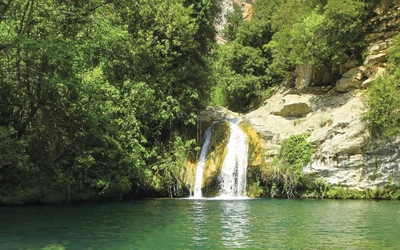
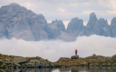
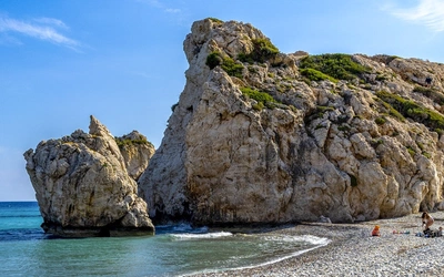
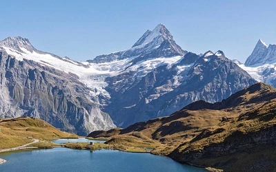
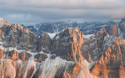
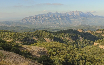
Explore the wild mountains of Sardinia with a Cicerone guidebook
Walking in Sardinia
50 walks in Sardinia's Mountains by Paddy Dillon
A handy guidebook describing 50 day walks on the island of Sardinia. The routes explore the north east of Sardinia, including the Ogliastra coast and the Gennergentu mountains further inland. These are the highest, wildest and most dramatic parts of Sardinia. Much of the walking is tough, with some scrambling involved. More...
Buy from Cicerone
Other eBook formats (more information)
Walk 1
Monte Ortobene from Nuoro
Distance 16km (10 miles)
Start/finish Chiesa la Solitudine, Nuoro
Total ascent/descent 650m (2130ft)
Time 5hrs
Map IGMI ‘Serie 50’ 500, ‘Serie 25’ 500 IV
Terrain Roads and tracks, from farmland to wooded slopes, and a steep wooded path for the descent
Refreshment Plenty of choice in Nuoro; bars on top of Monte Ortobene
Transport/access ATP city buses run between Nuoro and Monte Ortobene
Note Descent uses waymarked trail 101
Monte Ortobene is a very popular destination for motorists, although plenty of walkers also climb it. Farm and woodland tracks can be linked to approach the busy summit for exceptional views. A winding, waymarked path can be used on a well-wooded descent to return to Nuoro.
Start at a chapel, Chiesa la Solitudine, on the outskirts of Nuoro. A small bar and gelateria are available, and the walk goes up the road Via Monte Ortobene. When it bends sharp right, go through a gateway and down a concrete track into holm oak woods. Climb gently and turn right down to a picnic site in mixed woodland. Turn left down a track, and left again at a junction down to the road. Turn right and quickly right again, following a track running parallel to the road for a while. Cross a bridge and pass a turning signposted ‘Chiesa di N S di Valverde.’ If visiting the chapel, return here afterwards.
The road reaches a ‘Km2’ sign at Janna Ventosa. Turn right and go through the middle of three gateways. A track descends steeply, then more gently past pines and eucalyptus, while the slopes of Monte Ortobene are dotted with granite tors. Climb a bit then continue down the track, across bouldery slopes of scrub woodland. Cross a stream-bed and climb gently, through a gateway and over a rise. The tallest trees are cork oaks, then the track climbs past olives, steepening and passing a ruin. The climb continues relentlessly on Cuccuru Sinnurtui, with dense macchia, cork oaks and pines alongside. If you climb too far a grotesque outcrop is seen, with a gateway alongside. Go back down and look more carefully for the path.
Turn left at a junction, undulating among mixed woodlands. Stay on the main track, avoiding all others to left and right, and later climb a concrete track with a power line alongside. A derelict sports centre stands to the right, around 700m (2300ft). Turn left along a road to reach a turning space beside a weed-grown sports pitch. Continue along and down a track into woods, then climb and watch for a vague path on the right.
The path is narrow and brambly, then clearer as it climbs through dense woods, a clearing, and more woods. Turn right up a broken concrete track and pass a few properties, reaching a road over 900m (2950ft). Turn left up the road, which curves round Cuccuru Nigheddu, offering splendid views, with Monte Bardia to the east, Monte Corrasi south-east, and Gennargentu sprawling south. Reach a couple of restaurants and turn right up a road, then go sharp left up a path to a chapel on a wooded hilltop. Follow a narrow path past a building further along the crest and head down to a car park. (This point is served by ATP buses from Nuoro.)
Follow a broad, stone-paved path, rising and falling through the woods. Climb stone steps to the huge bronze statue of Il Redentore (‘The Redeemer’), at 925m (3035ft) on Monte Ortobene. Enjoy extensive views, marred only by communication masts nearby at 955m (3133ft). Double back to the road and walk round the back of a nearby café/bar called Il Parco. A short concrete track leads onto a winding woodland track. Keep left of a house, passing a corner of a fence, to pick up a path flashed red/white, numbered 101. Walk down through the woods and cross an access track serving a youth centre. Continue down to a derelict building and turn left, almost to a road at Solotti, at 820m (2690ft).
Just before reaching the road, turn left through a brambly gap to follow a path. A fence and wall push the path away from the road, while red/white flashes show the way ahead, through a network of paths. An old track leads down to a road, but merely clip a bend and step behind ‘arrow’ signs to continue down the path. Either cross the road or walk under it at Funtana Milianu. Go down granite steps to follow a walled or fenced path that turns right down a steep track then quickly levels out among tall broom. Join a broader track and turn right, in effect straight ahead, to a cross-track where tall pines stand among holm oaks at Sos Frores, at 707m (2320ft).
Keep straight ahead, signposted ‘La Solitudine’, following the path downhill until it rears uphill, worn and grooved. The trail is marked left – it is initially vague (flashed red/white), but becomes clearer as it climbs a groove past outcrops and boulders. Reach a clear track, but don’t follow it. Turn quickly right and left to follow a narrow parallel path. Keep straight ahead along a clear path, going over a slight rise then down a groove. Pass between a covered reservoir and a house, walk down a concrete track to a transformer tower, then go straight ahead down a gritty path. Turn left up a road (or squeeze through a narrow bridge beneath), then turn sharp right and walk steeply down a narrow path. Fork left to finish in front of the chapel at La Solitudine.


