


Article


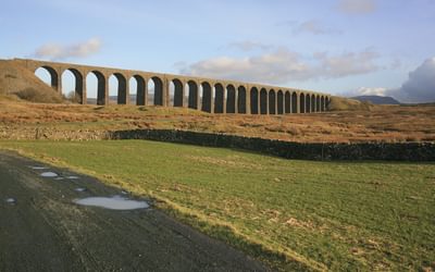
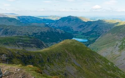
A guidebook to the 73 mile Cumbria Way, an easy long-distance walk though the heart of the Lake District National Park, from Ulverston in the south to Carlisle in the north, with good transport links to either end. The route is largely low-level but this guide offers alternative mountain days to climb some of the famous fells en route.
A guidebook to walking the Cumbria Way, a 188km (73 mile) route between Ulverston and Carlisle. Suitable for walkers with some experience, this long-distance route through the heart of the Lake District can be walked in 5 days, but there is plenty of opportunity to plan your itinerary for a more easy-going 7 to 8 days.
This largely low-level route is described here in five stages of between 19 and 26 kms (12 – 16 miles). Alternative mountain days can be added to include the Coniston Fells, Glaramara and Skiddaw.

John Gillham has been a professional writer, illustrator and photographer since 1989. His first book was Snowdonia to the Gower: a Coast-to-Coast Walk Across Highest Wales. He also pioneered three other long-distance routes: Lakeland to Lindisfarne, Pennine Ways and the Bowland–Dales Traverse, all of which were published in book form. John’s recent books include The Pictorial Guides to the Mountains of Snowdonia Volumes 1–4, Best Day Walks in Snowdonia and the AA Leisure Guide to Wales. John writes for several outdoor publications, and two of his books have won the Outdoor Writers & Photographers Guild Award for Excellence.
View author profile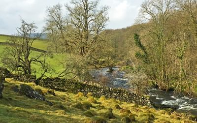

