


Article


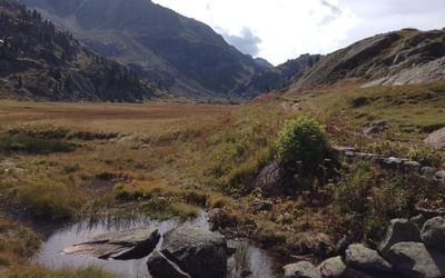
Guidebook describing the 115km Alta Via 1, a hut-to-hut long-distance trail through the magnificent Italian Dolomites. Easier than the other AV trails, the route extends from Lago di Braies to La Pissa and is described in 11 stages. It offers majestic mountain vistas, including views of the Marmolada, Pelmo and Civetta. Includes 1:25K map booklet.
A guidebook containing all the information you need to walk the Alta Via 1 between Lago di Braies and La Pissa. Covering 115km (72 miles), this hut-to-hut long-distance hiking trail through the heart of the Dolomites in northeastern Italy takes about 2 weeks and is suitable for both first-time and experienced trekkers.
The route is described from north to south in 11 stages, each between 6 and 14km (4–9 miles) in length. Easier path variants, exit routes to reach public transport and side routes to explore nearby summits and points of interest are detailed. Advice on 4- or 5-day sections of the route for walkers who prefer not to walk AV1 in its entirety is also given.

Gillian Price has trekked throughout Asia and the Himalayas, but now lives in Venice. Gillian has steadily explored the mountain ranges of Italy, and Corsica, and brought them to life for visitors in a series of outstanding guides for Cicerone. She is an active member of the Italian Alpine Club (CAI) and Mountain Wilderness.
View author profile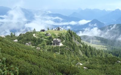


