


Feature · 1 Nov 2020
Hut-hopping in Huldreheimen
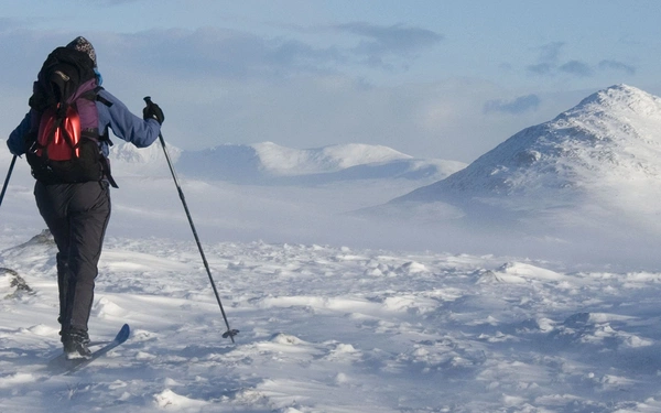
Frank Husslage took his skis and went for a five-day winter trip in the Norwegian snow. Allergic to crowds of any kind, Frank found a region ideal for people with this specific affliction: Huldreheimen, a little unknown gem between the more popular...