Walk the Hebridean Way: Plan your trip
The Hebridean Way stretches 247km (155 miles) along the length of the Outer Hebrides from Vatersay (Bhatarsaigh) in the south to Stornoway (Steornabhagh) in the north.
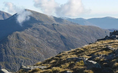
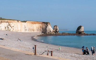
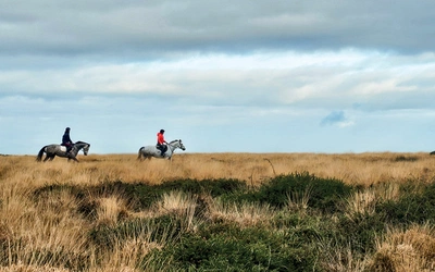
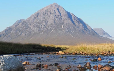
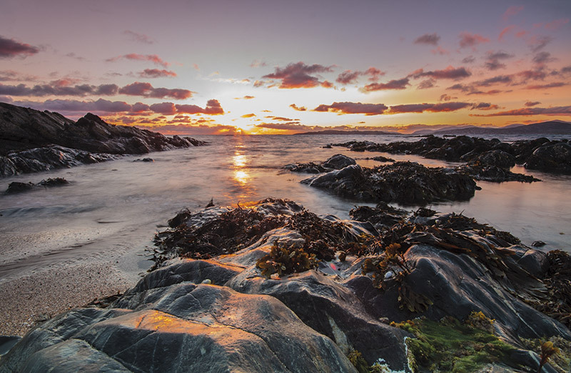
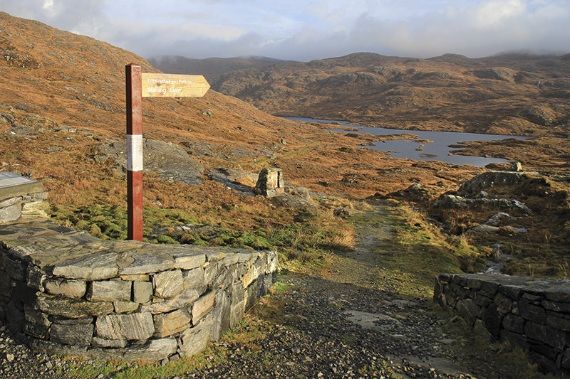
The stunning landscape, varied geology, exceptional wildlife and numerous antiquities of the Outer Hebrides are truly awe-inspiring. Unlike many other long-distance paths, there is considerable variety along the way. The terrain can change rapidly. In the morning you can be walking across a wild moor, then in the afternoon along a blindingly white beach beside turquoise seas.
Getting there means that the Hebridean Way is not the easiest long-distance path in terms of logistics, although there are plenty of tips and advice packed into this page and our guidebook.
How long is the Hebridean Way?
The Hebridean Way is 247km (155 miles) long. Half as long again as the West Highland Way!
How long does it take to walk the Hebridean Way?
The guidebook is organised into 10 one-day stages (with two additional stages from Stornoway to the Butt of Lewis), but you can also use one of the two suggested alternative schedules (see ‘Planning your trip’) or work out your own itinerary using the Trek Planner.
Each stage described in the text starts and finishes at a location where there are good local facilities or a bus route, so that you can easily get to places off route. The distance walked each day varies from a leisurely 16km (10 miles) to 35km (22 miles) on a couple of flatter stages. Unless confronted by a gale, reasonably fit walkers should have no real difficulty in completing any of the stages; and should you wish to curtail a stage due to poor weather, the path is rarely far from a main road.
How difficult is the Hebridean Way?
This will depend largely on your plans, skill level and whether you’ll seek accommodation or choose to camp. However, unless you have a good level of fitness and are used to walking with a pack day after day, walking will be a pain rather than a pleasure. Even if you consider yourself reasonably fit already, test your endurance over a couple of weekend walks and progress to a week-long walk covering similar daily distances and carrying a comparable loaded pack.
To be enjoyable, a long-distance walk needs to be taken at a pace that allows you to cover the necessary distance in the allotted time, yet leaves time to enjoy the scenery, take in nearby attractions and stop for breaks.
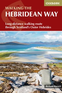
The Hebridean Way
Long-distance walking route through Scotland's Outer Hebrides
£16.95
Guidebook to walking the Hebridean Way, a 155 mile (247km) walking route along the length of the Outer Hebrides. From the island of Vatersay to Stornoway on Lewis, the waymarked route can be walked in 8 to 13 days and crosses a variety of terrain including shell beaches, rugged hills and wild moor. Also includes an extension to the Butt of Lewis.
More informationWhen is the best time of year to walk the Hebridean Way?
The best time to go walking in the Hebrides is between April and October, when the days are longer, the weather is at its best and the ground underfoot is likely to be drier. Late Spring and early Summer bring sunnier days and less likelihood of midges, but no matter which month you choose, you will undoubtedly get wet and blustery days.
Autumn and Winter are a different proposition altogether. Mean monthly wind speeds are about 18mph in December and January and daily mean wind speeds over 35mph with gusts more than 58mph are not uncommon. At the same time, nearly half of the annual rainfall comes in the four months from October to January, with storms sometimes lasting for days at a time.
Where can I find accommodation on the Hebridean Way?
The islands offer a range of hotels, guest houses, B&Bs and hostels, even if they are not always adjacent to the route, so there is something to suit most pockets. The cheapest option is a tent, this gives the flexibility to stop just where it suits, so you avoid having to make detours on foot or public transport to your overnight accommodation. If you are camping, being in Scotland means you can legally camp almost anywhere, as long as you have no motorised transport, stay no more than three to four nights and leave no trace.
Although the right to roam means you can camp almost anywhere in Scotland, if you want amenities such as toilets and showers, then you will need to use proper campsites and may need to book in advance.
Facilities
If you are using hotels or B&Bs that provide dinner, all your meals and even your packed lunches will be taken care of. But if you are backpacking, you will need to stock up on provisions every few days in order to keep your rucksack as light as possible. This will require planning as, outside of the larger villages, there are few shops and there are often big distances between them. For instance, once you leave Leverburgh in South Harris, there is not another grocery store for 43km until you reach Tarbert.
Stage 1 - Vatersay to Ardmhor
- Distance: 22km (14 miles)
- Total Ascent: 760m (2490ft)
- Time: 7–8 hours
Stage 1, around the coast of Vatersay and across Barra (Barraigh), contains everything that the Outer Hebrides are famous for – high hills, white sandy beaches and flower-strewn machair – so you start with a sample of what follows on subsequent stages.
Stage 2 - Eriskay to Howmore
- Distance: 34km (21 miles)
- Total Ascent: 150m (500ft)
- Time: 7–8 hours
This stage from Eriskay to Howmore runs up the Atlantic coast, with mile after mile of easy walking above white sandy beaches. You will be pleasantly surprised at your progress.
Stage 3 - Howmore to Baile nan Cailleach
- Distance: 34km (21 miles)
- Total Ascent: 160m (530ft)
- Time: 7–8 hours
After hugging the coast for much of the way, the route now makes two sorties out onto the moors on the eastern side of the main A865 road. The first picks a course across the islands in Loch Druidibeag, a national nature reserve, while the second follows the southern shore of Loch Bì, which is popular with anglers.
Stage 4 - Baile nan Cailleach to Lochmaddy
- Distance: 35km (22 miles)
- Total Ascent: 450m (1480ft)
- Time: 7–8 hours
This is another stage that starts and finishes on tarmac, but in between there are a couple of fine sections out onto the moor and an ascent of Ruabhal (124m), the highest hill on Benbecula (Beinn na Faoghla), which despite its modest height provides wonderful views in all directions. The stage crosses to North Uist (Uibhist a Tuath) via two sections of causeway, taking you briefly onto the island of Grimsay (Griomasaigh)
Stage 5 - Lochmaddy to Berneray
- Distance: 17km (11 miles)
- Total Ascent: 315m (1030ft)
- Time: 4–5 hours
This stage begins with short sections of road walking before heading over the moor to climb around Beinn Mhòr, which on a clear day gives good views across the vast expanses of sand that run along the north coast of North Uist (Uibhist a Tuath) and the myriad of islands off its east side.
Then comes Berneray, a gem of an island – as beautiful, if not more so, than Eriskay (Eirisgeigh) at the other end of the Uists. Be sure to leave time to explore before taking the ferry.
Stage 6 - Leverburgh to Horgabost
- Distance: 16km (10 miles)
- Total Ascent: 390m (1280ft)
- Time: 4–5 hours
This stage starts with easy walking along the ‘peat road’ between Leverburgh and Finsbay (Fionnsabhagh), before heading up Gleann Uachdrach on a raised turf path and then out onto better ground high above the white shell beaches along the Atlantic coast.
Stage 7 - Horgabost to Tarbert
- Distance: 27km (17 miles)
- Total Ascent: 880m (2880ft)
- Time: 8–9 hours
After leaving the Coffin Route, the path weaves its way through the most northerly villages of the Bays, sometimes using existing footpaths and sometimes single-track roads. These isolated townships were first linked by road in the 1930s. Because it was so expensive to build, this narrow and twisting road rapidly attracted the name ‘the Golden Road’ – something that has stuck to it ever since. You will be walking along sections of it as you head towards Tarbert.
Stage 8 - Tarbert to Aline
- Distance: 22km (14 miles)
- Total Ascent: 660m (2160ft)
- Time: 5–6 hours
Although this stage makes use of old roads and low-level tracks, the hills of North Harris on either side of the path and the remote hills of South-East Lewis across the fjord-like Loch Seaforth (Loch Shìophoirt) make it feel like a day in the mountains.
Stage 9 - Aline to Laxay
- Distance: 18km (11 miles)
- Total Ascent: 340m (1115ft)
- Time: 5–6 hours
After a stretch of boardwalk in Aline Community Woodland, the route makes use of the old carriageway until Arivruaich (Airidh a Bhruaich, meaning ‘the shieling on the brae’). It then goes deeper into the moor behind Baile Ailein (Balallan), only to return to the road before a very brief – and some would say pointless – return to the moor, just before Laxay (Lacasaigh, ‘the salmon river’).
Stage 10 - Laxay to Stornoway
- Distance: 22km (14 miles)
- Total Ascent: 460m (1505ft)
- Time: 6–7 hours
A stage made up of two very different types of terrain. First, the route heads northwards, directly across the moor to Achamore (Acha Mòr, meaning ‘the big field’). Then, after crossing the A858, it is tarmac all the way to the northern end of the Hebridean Way in the grounds of Lews Castle in Stornoway. Some may not like walking alongside the road; others may find it a welcome change.
From Achamore, there is an opportunity to leave the path for a short while to visit the magnificent Standing Stones of Callanish (Calanais).