Article · 22 Jun 2026
Walking the Jurassic Coast: a complete planning guide
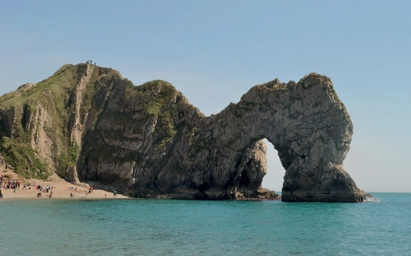
The Jurassic Coast between Exmouth in East Devon and Poole Bay in Dorset is the only stretch of coastline in the UK to hold UNESCO Natural World Heritage status — sharing that...