Article · 3 Dec 2025
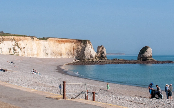
Five of the best short walks on the Isle of Wight
The Isle of Wight is just a short ferry ride away from the south coast. With nearly half the island designated as a National Landscape, as well as a variety of towns, villages and...