5 Fantastic Fell Walks from Ambleside
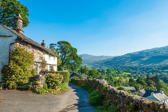
The quaint town of Ambleside within the Lake District National Park is, amongst many things, a great base for walkers. If you're travelling to Ambleside and want to explore the Lake District Fells, here are 5 of the best routes to include in your adventures. Whether you're an experienced hiker or new to the hills, there's something for everyone at all times of year.
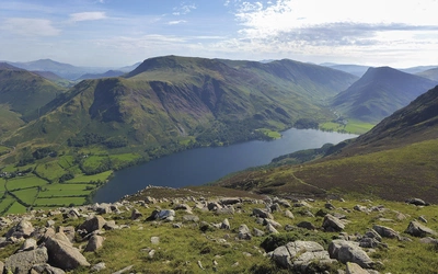
1. LOUGHRIGG FELL (335m/1099ft)
A small mountain, splendid views over all the valleys, with a cave to finish
Start/finish: Salutation Hotel in the centre of Ambleside
Distance: 10km (6¼ miles)
Time: 3hr
How hard: suitable for those with reasonable fitness
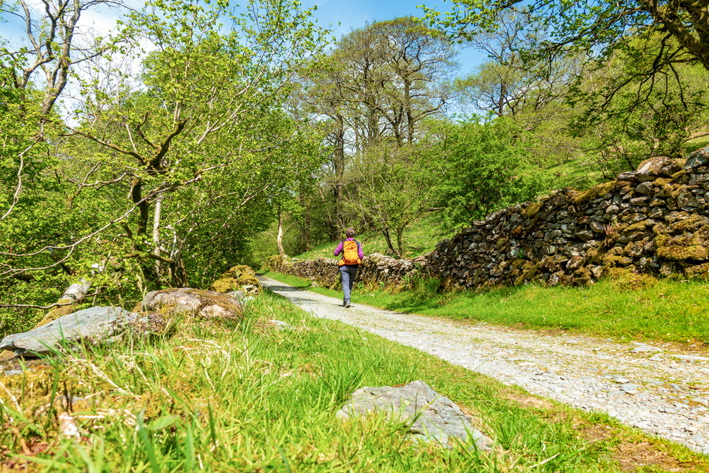
Loughrigg is a fine hill with rewarding views filling the area between Ambleside, Grasmere and Langdale. The hill is laced with trails and easy to explore, although it can be difficult to navigate when in the cloud. Take care on the steep path to Loughrigg Terrace then enjoy an easy walk back to Ambleside, visiting Rydal Cave, with an opportunity to divert to Rydal Mount to indulge in Wordsworth or cake according to your taste!
Fun fact: Rydal Cave, passed on the return route, has been used as a filming location for The Witcher television series.
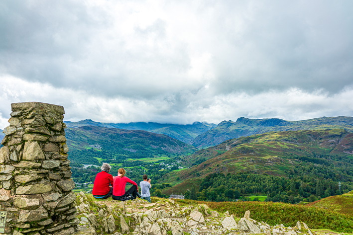
2. WANSFELL, TROUTBECK AND ROBIN LANE (489m/1604ft)
A longer walk passing a fine waterfall then a steep ascent to a great viewpoint and an ancient village
Start/finish: Salutation Hotel in the centre of Ambleside
Distance: 11km (7 miles)
Time: 3½hr
How hard: a challenging route suitable for experienced walkers
Wansfell stands high over Ambleside and is best kept for a really fine day to enjoy the great views over the whole of the southern Lakes. It’s a steep, unrelenting climb but worth the effort. Stockghyll Force waterfall, passed on the way, makes a pleasant 30–60min walk if time is limited, and is best viewed after rain. The onward route takes in beautiful Troutbeck village and valley, then an old hill track leads back to Ambleside.
Fun fact: Once there were 12 watermills driven by the power of Stock Ghyll and other local becks, producing bobbins, processed fabrics, paper and ground corn.
3. HIGH AND LOW SWEDEN BRIDGES (240m)
A short walk to two old packhorse bridges and the edge of the high fells
Start/finish: Salutation Hotel in the centre of Ambleside
Distance: 5.5km (3½ miles)
Time: 1¾hr
How hard: suitable for everyone
The route heads out from the centre of Ambleside and climbs to High Sweden Bridge, an ancient stone packhorse bridge set in an idyllic valley – a favoured picnic spot – then climbs to reach an easy track with superb views south which descends to cross Low Sweden Bridge and back into town.
Fun fact: Contrary to expectations, the Sweden Bridges don’t appear to have any connection with Sweden! The origin of the name is probably from the old English or Norse term ‘swidden’, meaning that the fell was cleared for use by burning.
4. AMBLESIDE TO ELTERWATER (215m)
A linear walk taking in a pass, pubs and cafe
Start/finish: Salutation Hotel in the centre of Ambleside
Distance: 7.5km (4¾ miles) (for full horseshoe)
Time: 2hr
How hard: suitable for everyone
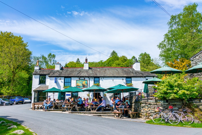
Great views and a trip to one of Lakeland’s iconic pubs (The Britannia Inn, Elterwater). Catch the bus back to Ambleside from Elterwater or complete the circuit of Loughrigg. A pass, a gorge, a waterfall, two tarns and meadows as well – this walk has a lot to offer in two hours.
Fun fact: This area was a favourite place of the poet William Wordsworth.
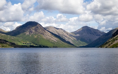
5. FAIRFIELD (873m/2864ft)
Part of Fairfield Horseshoe, Deepdale and Dovedale Round
Start/finish: Ambleside town centre
Distance: 16.4km (10.2 miles) (for Fairfield horseshoe)
Time: 5-6hrs (for Fairfield horseshoe)
How hard: suitable for experienced hillwalkers
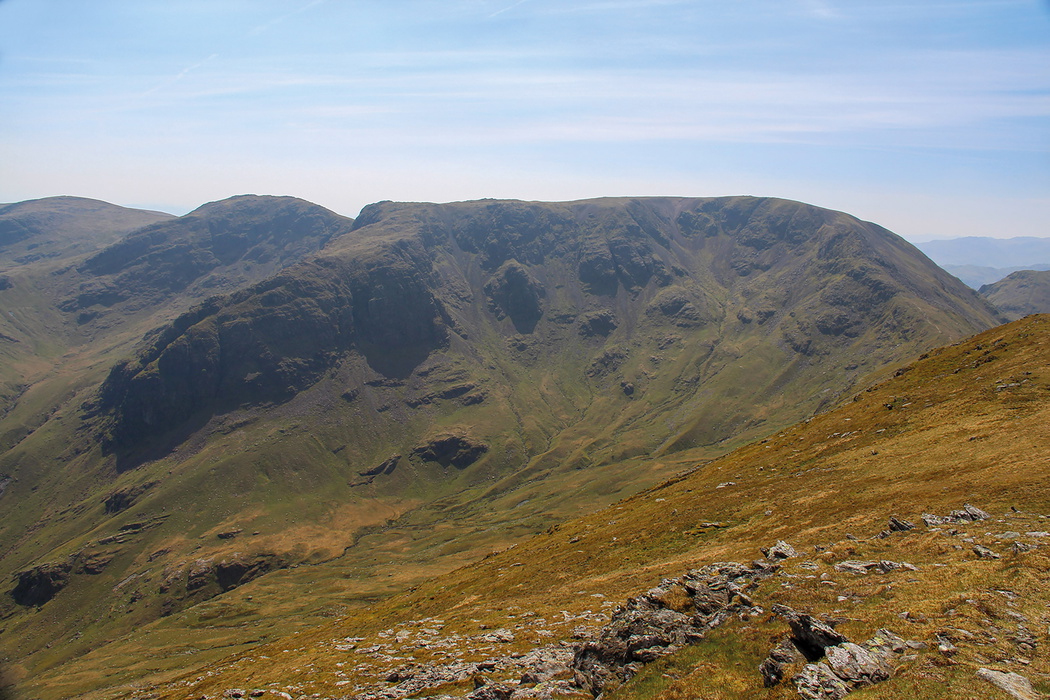
Fairfield, located in the southern part of the Near Eastern Fells and separated from Helvellyn by Grisedale, is a magnificent mountain. While the Fairfield Horseshoe on its south side is popular, the fell's most stunning qualities lie on its northern slopes. High vantage points like Deepdale offer impressive views of crags and scree-filled dale heads in Link and Cawk Coves. Much of the fell consists of relatively featureless slopes, making it a valued viewpoint for those on the Horseshoe route, especially for the breathtaking northward view towards Helvellyn from the headwall of Grisedale.
Fun fact: The complete Fairfield Horseshoe will tick off 8 fells.
You'll find Walks 1-4 in our Short Walks in the Lake District: Windermere, Ambleside & Grasmere guidebook, and Walk 5 in Walking the Lake District Fells – Patterdale.
For more fellwalking options, take a look at Mark Richards' Walking the Lake District Fells range, a series of eight guidebooks, one for each of the main valley bases, covering ALL the routes up ALL the fells in each area.