


Article


Free Royal Mail 48 postage on UK orders. European postage is £3.50 per item. Worldwide postage is £5.50 per item. If you're not happy with your purchase for any reason, we'll give you a full refund.
More information...
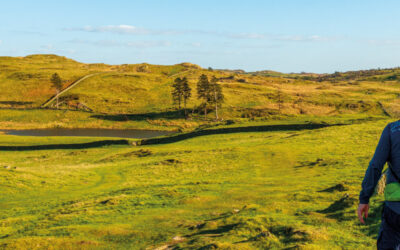
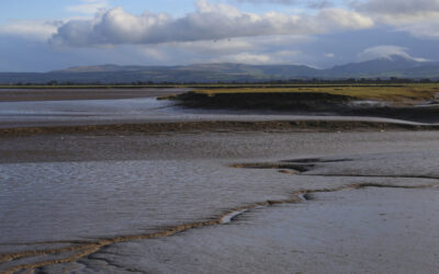
This guidebook to Montenegro includes 17 walks and trekking routes throughout the Dinaric Alps, in Montenegro's five national parks as well as Orjen, Komovi, Tara Canyon and the UNESCO-listed old town of Kotor. The circular and linear routes range from easy hour-long outings to challenging 5-day treks involving exposure and scrambling.
Free Royal Mail 48 postage on UK orders. European postage is £3.50 per item. Worldwide postage is £5.50 per item. If you're not happy with your purchase for any reason, we'll give you a full refund.
More information...
A guidebook to a selection of 17 walks and short treks (of 2–7 days) in the Dinaric Alps of Montenegro. Routes are graded by difficulty and range from short easy strolls of under 2 hours to strenuous mountain traverses, sometimes involving scrambling and exposed sections.
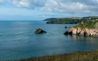
Walks range from 2 to 14km and can be enjoyed in 1–5 hours. Treks range from 14 to 44km. The routes cover Orjen, Lovcén, Lake Skadar, Durmitor, Bjelasica, Komovi, Kucka Krajina (Žijevo), Visitor and Prokletije, with variants and extensions included so that you can tailor your walk or trek to suit your group’s ability and timescale.
Map key
Overview map
Route summary table
Introduction
Geography
Geology
Climate
Vegetation and wildlife
History
Culture
Food and drink
Language
Getting to Montenegro
Local transport
Accommodation
Money
Staying in touch
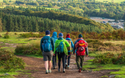
Walking in Montenegro
What to take
Maps
Trail markings
National parks
Safety in the mountains
Using this guide
Orjen
Route 1 Subra
Stage 1 Kameno – Vratlo hut
Stage 2 Vratlo hut – Subra (return)
Stage 3 Vratlo hut – Kabao (return)
Stage 4 Vratlo hut – Kameno
Route 2 Zubački kabao
Further Possibilities
Lovćen
Route 3 Jezerski vrh
Route 4 Kotor fortress
Lake Skadar
Route 5 Rumija
Further Possibilities
Durmitor
Route 6 Central Durmitor
Stage 1 Žabljak – Lokvice
Stage 2 Lokvice – Terzin bogaz (return)
Stage 3 Lokvice – Bobotov kuk (return)
Stage 4 Lokvice – Minin bogaz (return)
Stage 5 Lokvice – Ledena pećina (return)
Stage 6 Lokvice – Samar (return)
Stage 7 Lokvice – Žabljak
Route 7 Durmitor Circuit (via Škrčko jezero)
Stage 1 Lokvice – Škrčko jezero
Stage 2 Škrčko jezero – Jablan jezero
Stage 3 Jablan jezero – Žabljak
Route 8 Durmitor Circuit (via Velika Struga)
Stage 1 Lokvice – Donja Ališnica
Stage 2 Donja Ališnica Žabljak
Day walks from Žabljak
Bjelasica
Route 9 Biogradsko jezero
Route 10 Biogradska gora
Stage 1 Biogradsko jezero – Pešića jezero
Stage 2 Pešića jezero – Trešnjevik
Further Possibilities
Komovi
Route 11 Komovi
Stage 1 Trešnjevik – Štavna
Stage 2 Štavna – Kom Vasojevićki (return)
Stage 3 Štavna – Kom Ljevoriječki (return)
Stage 4 Štavna – Trešnjevik
Further Possibilities
Kučka Krajina (Žijevo)
Route 12 Kučka Krajina
Stage 1 Veruša – Bukumirsko jezero
Stage 2 Bukumirsko jezero – nameless pass (return)
Stage 3 Bukumirsko jezero – Štitan (return)
Stage 4 Bukumirsko jezero – Maglić (return)
Stage 5 Bukumirsko jezero – Veruša
Further Possibilities
Visitor
Route 13 Visitor from Plav
Further Possibilities
Prokletije
Route 14 Volušnica
Route 15 Krošnja and Karanfili
Route 16 Kotao
Route 17 Ropojana valley and jezero
Further Possibilities
Appendix A Mountain areas, major peaks and long-distance routes
Appendix B Further reading
Appendix C Useful contacts
Appendix D Language notes and glossary
Appendix E History of Montenegro
We do not yet have any updates available for this book
We are always grateful to readers for information about any discrepancies between a guidebook and the facts on the ground. If you would like to send some information to us then please use our contact form. They will be published here following review by the author(s).

Rudolf Abraham (https://www.rudolfabraham.co.uk) is an award-winning travel writer and photographer specialising in Central and Southeastern Europe. He is the author of over 15 books, and his work is published widely in magazines.
View author profile