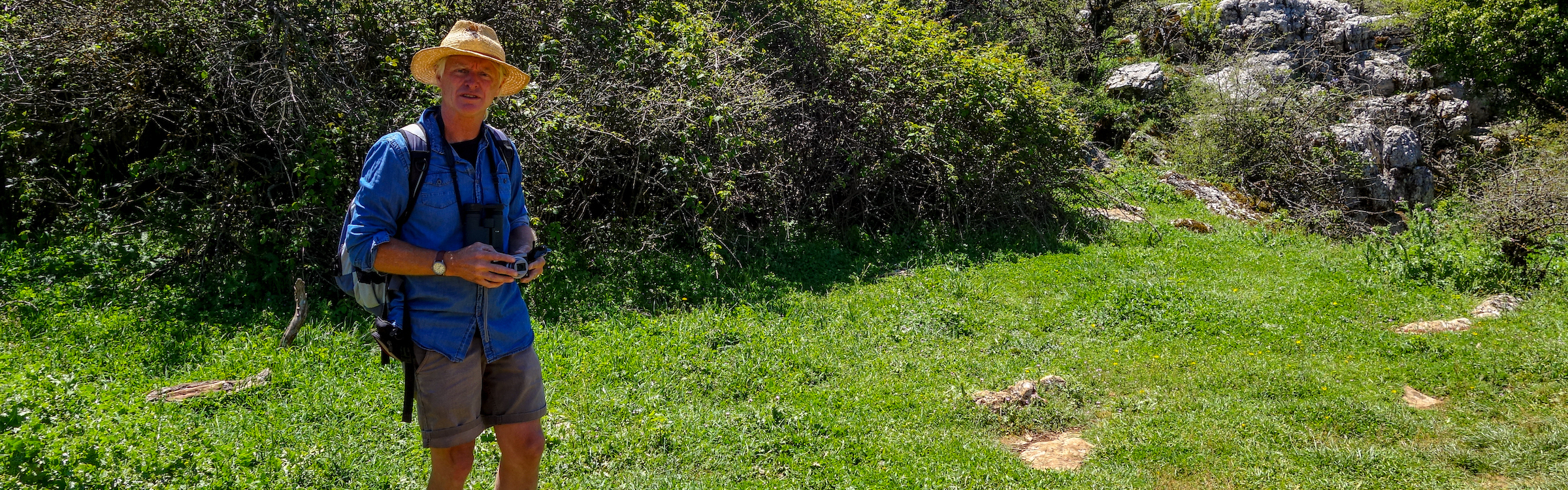
Eagle-spotting in the Sierra de Gredos

Cicerone author Mike Dunn recommends some high-altitude day walking among the eagles, kites and vultures in the granite peaks of the Sierra de Gredos, in the Sistema Central in central Spain, just two hours west of Madrid.
Little known outside Spain yet less than two hours from Madrid, and very much favoured by Madrileños as a weekend playground, the Sierra de Gredos is a granite massif containing the highest peaks in the Sistema Central, a chain of mountain ranges running from the Portuguese border to the Sierra de Guaderrama north of the capital.
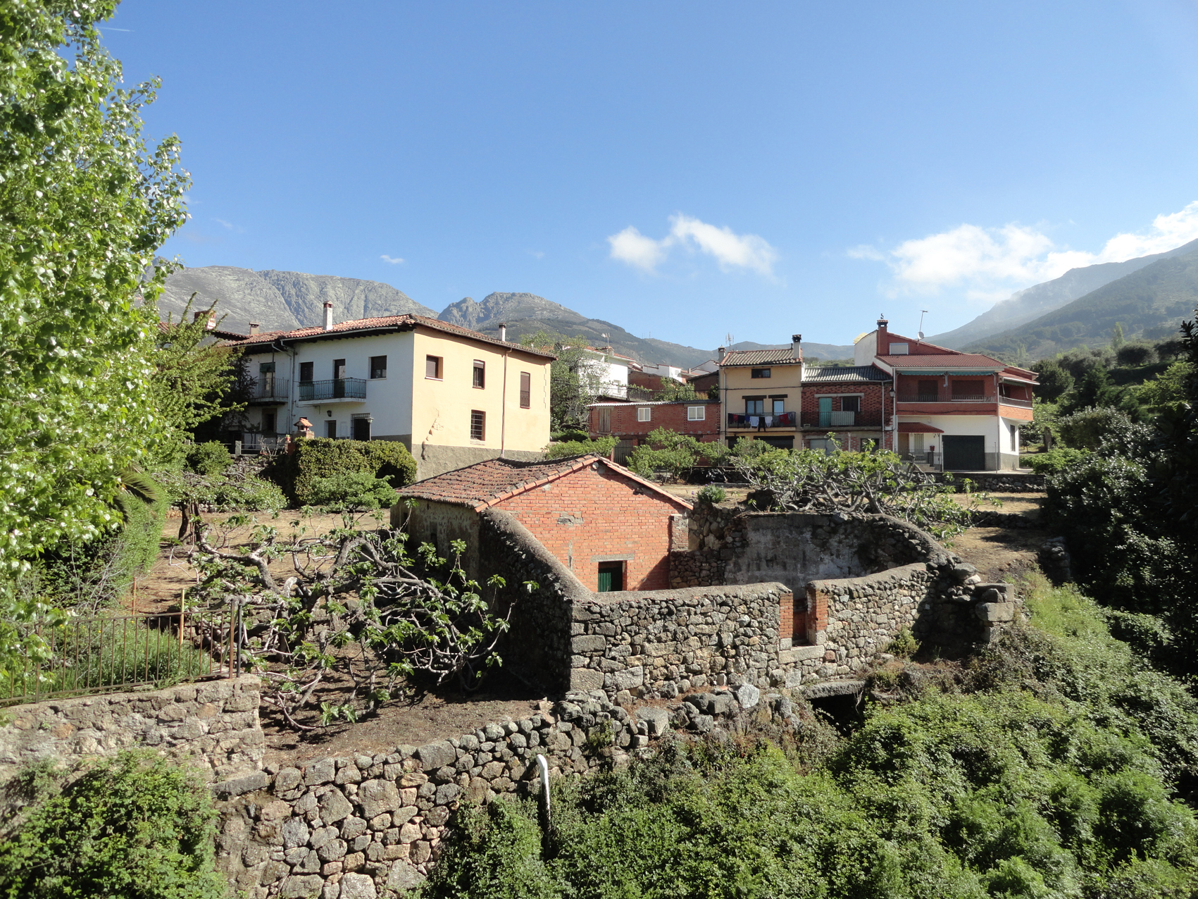
Once a royal hunting forest, it was reserved for the personal use of General Franco during the dictatorship but the central area has since been designated a regional nature park. Franco’s old headquarters near Navarredonda is now a Parador, one of a chain of upmarket hotels run by the Spanish government, and there are also stylish hotels in villages such as Hoyos del Espino in the north and Mombeltran in the south.
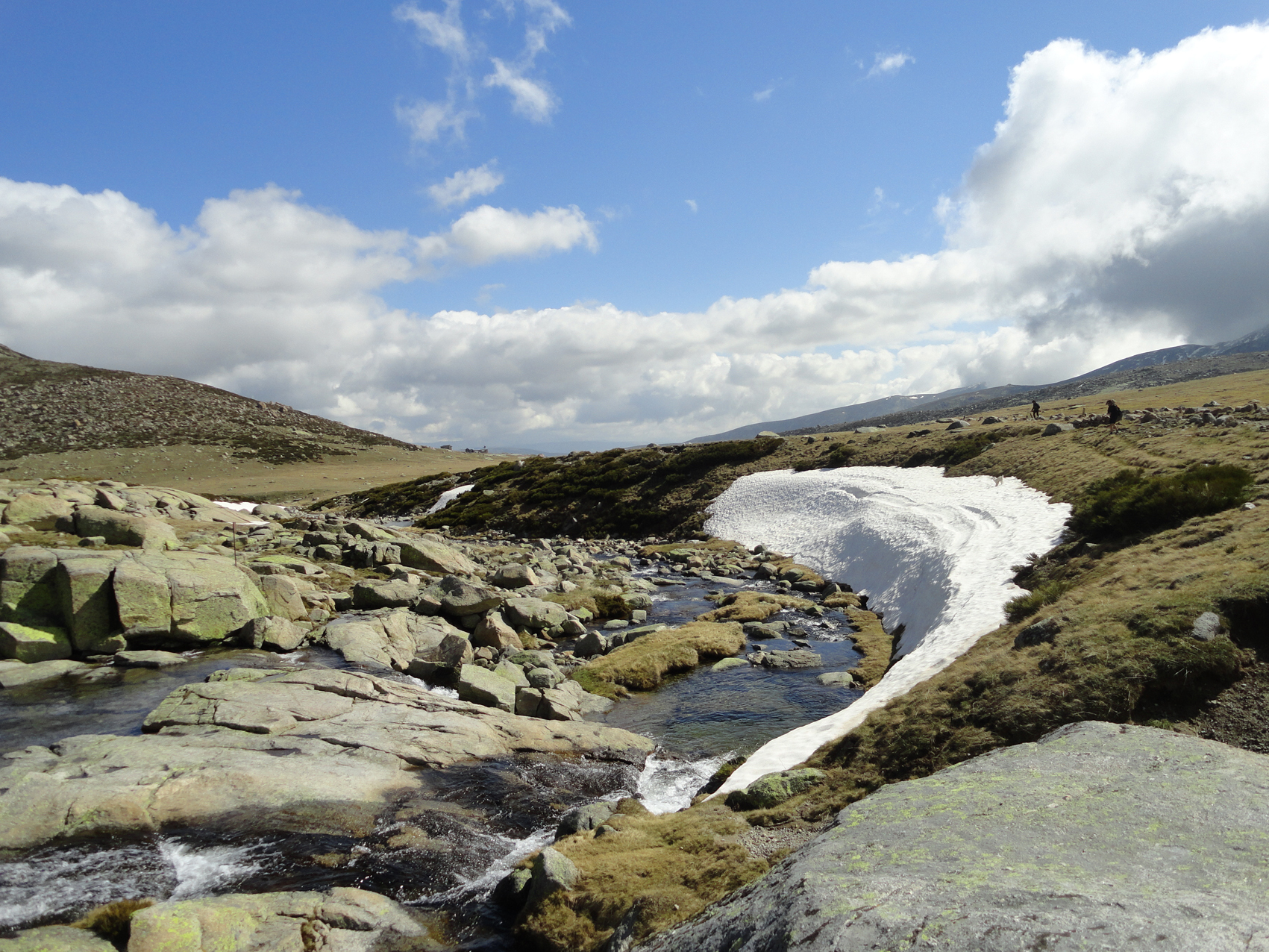
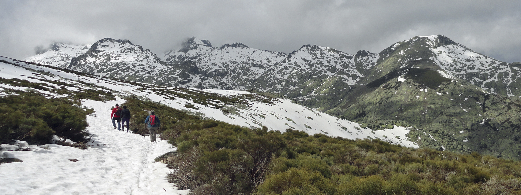
The signature walk in the northern Gredos starts at the huge car park at La Plataforma, a 13km drive south from Hoyos del Espino into the heart of the mountains. A well-graded and very well maintained boulder track waymarked as the Senda de Laguna Grande takes walkers alongside a stream and then across a verdant plateau, with rock buntings and black-eared wheatears near the path and surprisingly large herds of ibex a little further distant. There’s a minor descent to cross the Rio de las Pozas on an ugly concrete bridge and then a sustained climb on a stony path which winds below low granite outcrops, as the view to the north over the Tormes valley begins to open up.
As the path approaches the Fuente de los Calvadores and its cold spring water, the route crosses stepping stones and a little bridge. Look out here for little flocks of highly distinctive bluethroats, which flit amongst the scrubby vegetation from April onwards. A final climb across the plateau of Los Barrerones leads to the piece de resistance – the viewpoint over the Circo de Gredos.
The panorama is stunning, with the big corrie lake of the Laguna Grande (often still frozen until early summer) in its heavily glaciated bowl below an array of impressive snow-capped peaks, with Pico Almanzor, the highest peak in the Sierra de Gredos at 2592m, immediately above the Refugio Elola on the lake shore.
This viewpoint is also the place to scan the skies for some of the most spectacular large birds in Spain, with large numbers of eagles (including the golden eagle and the rare Spanish imperial eagle), kites and vultures. The black vulture breeds in these mountains, but the most extraordinary sight of all is of large groups of griffon vultures circling above the ridge lines, sometimes several dozen of them gathering in late afternoon before making their way to their roosting sites in the Monfrague national park almost 100km away to the south-west.
An easy path leads down past the Fuente de Barrerones to the shores of the Laguna Grande and the start of the quite challenging climb to the Almanzor. A visit to the lake adds an additional 200m of ascent to get back to the Barrerones plateau, so many walkers just turn round after savouring the view and retrace their steps to return to La Plataforma.
The car park at La Plataforma is also the starting point for a spectacular walk to the summit of the Morezón, one of the major peaks overlooking the Laguna Grande. This walk is for experienced walkers only, primarily because the waymarking is limited and the local map only shows part of the walk. Instead, progress is measured by spotting and counting the cairns. Take the Senda de Laguna Grande for around half an hour, going straight on at a walkers’ crossroads but then turning left onto a thin grassy path with a cairn on the left. The way lies gently uphill through the high grassland of the Prado de las Pozas, following a cairned path which becomes rocky and crosses the marshy Manantiales de las Pozas to reach the Navasomera col, with superb views both north and south.
The summit of the Morezón is now at the far end of the right-hand ridge, with less than half an hour needed to reach the top via any one of a number of rocky paths. The outward route can be re-used for your descent, or an alternative is to head east from the Navasomera col, heading for the Refugio del Rey, and then keep above the cliffs of the Puerto de Candeleda to find a little valley (signposted ‘La Plataforma’). The car park is about 45 minutes away, a simple descent walk down the valley until the main track to La Plataforma is re-joined and followed downhill to the right.
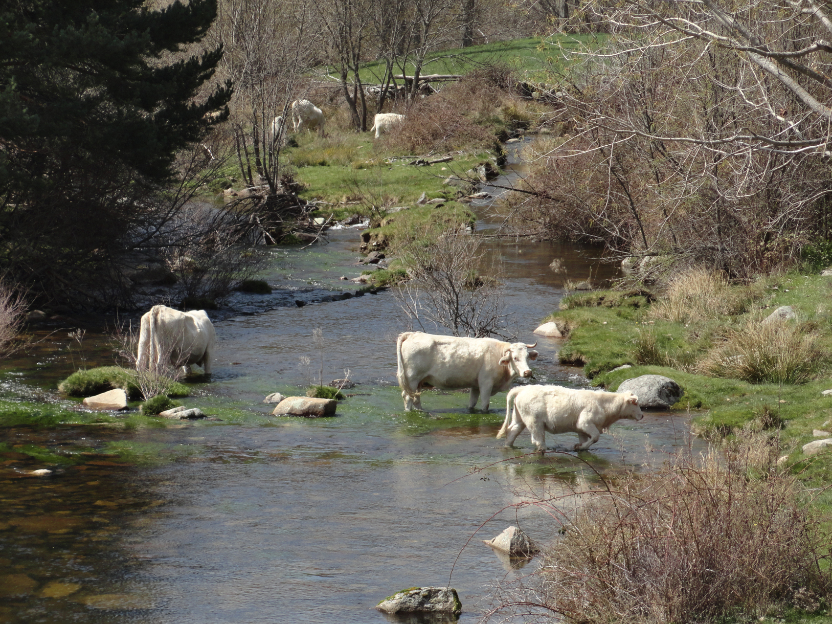
A completely different and much more relaxing walk of around 12km could take in one or more sections of the Rio Tormes valley. You can start at Navacepeda and walk up the river, heading east across the narrow valley of the Arroyo de las Lanchas and take a wide track through cattle pastures frequented by startlingly colourful yellow wagtails. In the end you reach open heathland and pass the apparently abandoned Refugio de Pesca la Hoya. A little further along the river the track cuts through woodland frequented by red squirrels; it’s worth turning back here to follow the river downstream to Navacepeda for your return route. But, before you do, cross the road bridge after the arroyo, walk uphill for 600m or so and then drop down to the picnic area by Pozo de las Parades, with the added attraction of a bar offering cooling drinks at weekends.
The main road route through the mountains from north to south rises to some 1350m at the Puerto del Pico, which offers a fabulous view down to the south, towards the five villages of the Barranco de las Cinco Villas. It’s also the starting point for another, pretty straightforward route, this time to the summit of El Torozo, a prominent mountain well known for its fantastic views. Look out for the car park at the summit, with a café and bar in close attendance, and keep to the left of this, following the yellow and white stripes on posts marking the track. This soon degenerates into a sandy path and then, beyond a gate, into a stony path which rises quite steeply to reach a stone hut.
From here the path, still rocky, climbs at a more comfortable angle, with outstanding views to the south and, once the path starts to zigzag up the higher slopes of the mountain, an equally wide panorama of lesser summits and the high plateau to the north. The path is easy to follow, with frequent waymarks, and descends a little before traversing around the mountain with the summit slopes above and to the right. Beyond the Fuente de las Belesas the way crosses grassland and the waymark posts lead to the tiny Refugio de los Cervunales and its granite picnic tables. It takes around 30 minutes to reach the summit of El Torozo from here, using a broad path leading up from a little depression and navigating some granite slabs (slanting at a shallow angle and with no exposure) and big boulders to pass one cairn and reach the second on the summit at 2021m, about 5½km from the car park.
After drinking in the views of the Tietar valley and its five villages, the lakes to the south-east with Toledo beyond, and the high peaks of the Sierra de Gredos to the west, simply reverse the outward route to return to the Puerto del Pico. But don’t jump into the car yet: cross the road to the viewpoint and look down to see the remarkably well preserved remains of the Roman road from Avila to Merida snaking down from the pass to the Tietar valley.
It’s well worth spending time strolling down the first section of the road, which has seen Roman armies and metal traders and more recently cattle drovers, who still use the as road as a migration route in spring, when thousands of cattle are driven up the paved and twisting route and over the pass on their way from their wintering grounds in the south to the high pastures of the north.
Finally, it’s well worth exploring to the south of Puerto del Pico. The climate of these lower, south-facing slopes is better, so that the natural landscape is completely different, with olive groves and citrus trees replacing the pine plantations and broom and juniper scrub of the north. An excellent introductory walk explores all or part of the Senda de la Cinco Villas, winding through farmland and past villages perched on hillside terraces, but a good destination to aim for is Mombeltran, with its formidable castle, adjacent public park with a little street market, and selection of cafes and bars.
And for the more energetic there are more serious walks into the mountains from centres such as Arenas de San Pedro and Candeleda, with the central peaks, just as impressive from this direction, towering over the flatlands of the Tietar valley.