amazon
app
apple-books
arrow-left
arrow-right
backpack-gray
book
bulletin
cart
chevron-right
close
compass
download
ebook
fast
globe
google-play
gps
gpx
magnify
pdf
plane
play
postcards
rakuten
recycle
smile
tipi
truck
Sitewide sale now on: Get 20% off all printed books and eBooks! Offer ends 22nd February. Don't miss out!
Shop Now
Dismiss alert
Cicerone Press
Menu
Shop
Articles
Activities
Map Search
Outlet
Regions
International
Australia
Australia
1 Book Available
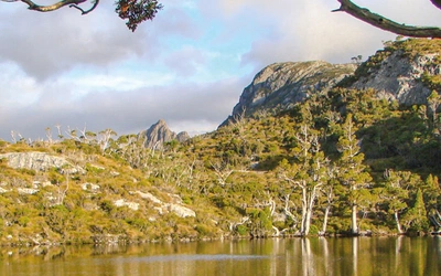
Hiking the Overland Track
£17.95
SALE
£14.36
6 Articles Available
Article
An Introduction to Tasmania’s Overland Track
Article
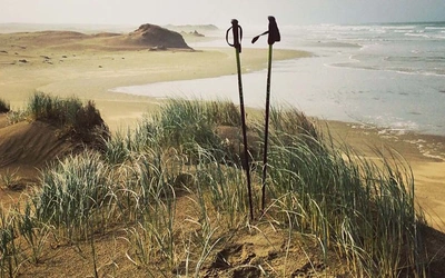
Bikepacking New Zealand's Tour Aotearoa
Article
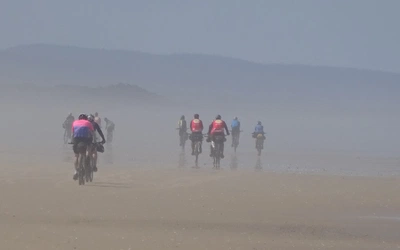
Tips and advice for fastpacking New Zealand’s Te Araroa trail
Feature
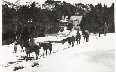
Creating Tasmania's Cradle Mountain–Lake St Clair National Park
Feature
The Australian Alpine Walking Track
Article
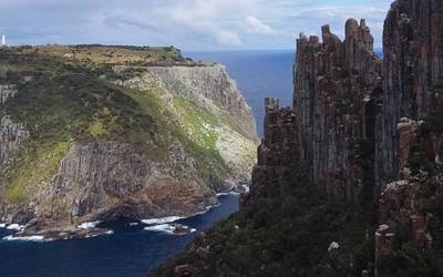
The Three Capes Track in Southern Tasmania
Home
Shop
Activities
All Activities
Short and easy day walks
British day walks
British mountains
British long distance walks
Walking the Lake District fells
National Trails
International trekking
International walking
Mountain adventures
Pilgrim trails
Climbing and mountaineering
Via ferratas
Cycling and cycle touring
Mountain biking
Ski touring
Trail and mountain running
Outdoor skills
British Isles
All British Isles
Scotland
Lake District
Northern England Trails
North East England, Yorkshire Dales and Pennines
North West England
Peak District, Derbyshire and Midlands
Wales and Welsh Borders
Snowdonia
Southern England
Backpacking
Cycling
Europe
All Europe
Cycling
Ireland
Alps
Alps cross-border routes
France
Italy
Dolomites
Spain
Pyrenees
Portugal
Belgium and Luxembourg
Germany
Austria
Switzerland
Greece and Cyprus
Malta
Poland, Slovakia and Romania
Scandinavia: Norway, Sweden, Finland
Iceland and Greenland
Slovenia, Croatia, Serbia, Montenegro, Albania and Kosovo
International
All International
Africa
Asia
Japan
Himalaya
North America
South America
Australia
Articles
Latest Guidebooks
Coming Soon
Map Search
Outlet