In conversation with Julia Goodfellow-Smith: Walking in Worcestershire
Julia Goodfellow-Smith spent twelve years living in Malvern, exploring Worcestershire's hills, waterways and villages at walking pace before putting pen to paper on the Cicerone guide to the county. We talked to Julia about what makes Worcestershire such rewarding walking territory, how she and Mike approached the 31 routes in the book, and the jellyfish costume that has become something of a local legend on the Malvern Hills.
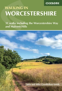
Walking in Worcestershire
31 walks including the Worcestershire Way and Malvern Hills
£14.95
Guidebook to walking in the county of Worcestershire, including 28 day walks for all abilities from 4 to 17 miles, plus three multi-day long-distance trails. Featuring the North Worcestershire Path, Wychavon Way, Worcestershire Way, Malvern Hills and Birmingham Canal, explore the county’s rolling hills, meandering rivers and fascinating history with easy-going hiking for all seasons.
More information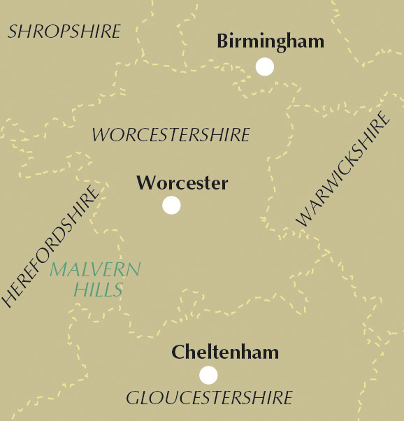
You lived in Malvern for 12 years before writing this book. How did that time living in the county shape the way you approached the walks?
During the early years of living in Malvern, we extensively explored the Malvern Hills and the area between Malvern, Worcester and Upton. Over time, our wanderings extended to Broadway, Bredon, Evesham and Pershore to the east, and as far as Tenbury Wells to the north. I walked along the River Severn from Worcester to Stourport, and I trained for cycling King Alfred's Way along the canal from Worcester to Birmingham. At walking (and sometimes cycling) pace, we got to know the county and understand what it had to offer walkers, as well as unearthing some of its quirkier places to visit. We used that knowledge as the basis for the walks, topped up by research into the areas we didn't know as well, such as the Lickey Hills, and by including some of the county's long-distance paths.
Worcestershire doesn't always get the same attention as the Lake District or the Cotswolds. What is it about the county that makes it such rewarding walking territory?
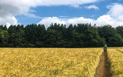
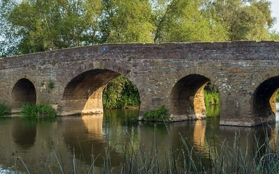
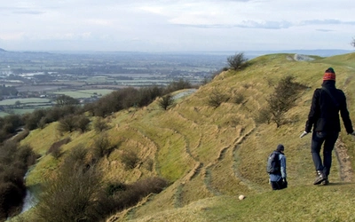
The interior of Worcestershire is characterised by waterways, low rolling hills, meadows and woodland, perfect for a gentle walk as long as the ground isn't waterlogged. Around the edges of the county, several ranges of hills rise up, offering more challenging walking, drier conditions and fabulous views across the county, over the Birmingham skyline and into the Welsh mountains. Worcestershire is also easily accessible, sitting at the edge of Birmingham and crossed by major roads and railway lines, which makes it a wonderfully practical destination as well as a beautiful one.
The book covers everything from gentle riverside strolls to the hillier routes on the outer edges of the county. How did you go about striking that balance between easy and more challenging walking?
That's the thing about Worcestershire, it almost takes care of itself — it's as though the county is designed for walkers. I made sure the walks were spread across the county and showcased all that it has to offer, and the landscape does the rest. Some routes are naturally short and low-level; others are longer and more demanding.
Is there one walk in the book you'd point a first-time visitor to if they only had time for one?
It's so hard to choose — I love all the walks in this book and would happily recommend any of them. But if you're after a long, hilly day with public transport at both ends, the first stage of the North Worcestershire Path (walk 30) has fabulous views and shows off the county's landscapes beautifully. For something less strenuous but still with fantastic views, the Old Hills (walk 14) is a wonderful option. And for historic interest, you can't beat Evesham and the River Avon (walk 20) or Worcester: rivers and battlefield (walk 15).
Several of the walks, like the one through Redditch, are more urban than people might expect from a countryside guidebook. What made you want to include routes like these alongside the classic hill and river walks?
Although Worcestershire is a largely rural county, it is home to several significant urban populations. Why not include walks that they can easily access, that showcase the green spaces within their own town or city? There's something to be said for helping people find the remarkable on their own doorstep.
Broadway Tower, the Malvern Hills end-to-end, and Worcestershire Beacon all feature in the book. Is there a lesser-known spot you think deserves just as much attention?
The Lickey Hills and the Clent Hills in the north-east of the county both have fabulous walking, with forests, hills and far-reaching viewpoints that I think often get overlooked. They're well worth a visit.
Tolkien is said to have drawn on the Malverns for the White Mountains in The Lord of the Rings. Did that history influence how you wrote about the hills, or any particular walk in the book?
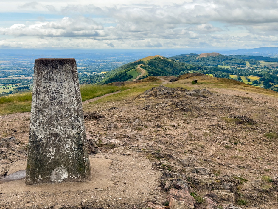
Mike's father was involved in publishing The Lord of the Rings when it was first released, and we both love the books. It is hard not to see The Shire when you stand on the Malvern Hills looking west. The route of Great Malvern and Worcestershire Beacon (walk 7) passes the Unicorn pub that JRR Tolkien and CS Lewis are said to have frequented — Malvern is also a wonderful place to see the gas lamps that are thought to have inspired CS Lewis to place one at the entrance to Narnia — and the walk has a glorious view across The Shire from the ridge.
Who do you picture picking up this book, and is there a type of walker you were especially keen to write for?
As we wrote the book, we always had a particular kind of walker in mind: someone who wants an interesting and beautiful walk, whether challenging or easy. That's really who this book is for.
You mention walkers shouldn't rely on signposting alone. How important was it to you that the route descriptions work as the thing walkers can actually depend on out on the ground?
It's an essential element of the book. Great route notes mean that the map or app rarely need to be consulted and a walk can be enjoyed to the fullest, so providing detailed, accurate, turn-by-turn descriptions was a real priority. Of course, for those who prefer to follow a route on their phone, the book is also available in Cicerone's app.
During lockdown you walked the Malverns dressed as a jellyfish for the Marine Conservation Society. Is there a story behind that, and are there any other memorable moments from researching the walks that stand out?
There is! In 2019, I had a health scare that led to me deciding that a long commute into Birmingham to do a job I hated was not a good use of my life. I handed in my notice a couple of weeks before the first 2020 Covid lockdown, having already decided to walk the South West Coast Path to raise money for charity. My chosen charity was the Marine Conservation Society — I admire the work they do, and I thought they were small enough for a few thousand pounds of fundraising to make a real difference. When I started thinking about how best to announce to the world that I was walking to raise money, I hit upon the idea of doing the full 630 miles dressed as a jellyfish.
When lockdown came, I realised I wouldn't be able to walk in June and July as planned. With no idea how long restrictions would last, I wasn't sure I'd be able to walk the South West Coast Path that year at all. I had already committed to raising the money, so I donned my jellyfish costume and walked the equivalent distance and ascent on the Malvern Hills instead, adjusting each day's hours and mileage to whatever the Covid rules allowed at the time. The costume created quite a stir — as did the turtle, cod and starfish I was joined by on my final day!
As for memorable moments from researching the walks themselves, it's less a single moment and more the whole experience. We walked in June, which is a glorious time to enjoy the county's abundance of wildflower meadows and waterways. The walks were colourful and buzzing with insects. It was memorably joyous, even when the walking was arduous or I was nervous about particularly frisky cattle.
Walking in Worcestershire
31 walks including the Worcestershire Way and Malvern Hills
£14.95
Guidebook to walking in the county of Worcestershire, including 28 day walks for all abilities from 4 to 17 miles, plus three multi-day long-distance trails. Featuring the North Worcestershire Path, Wychavon Way, Worcestershire Way, Malvern Hills and Birmingham Canal, explore the county’s rolling hills, meandering rivers and fascinating history with easy-going hiking for all seasons.
More informationAbout the authors, Julia and Mike Goodfellow-Smith:
Julia and Mike Goodfellow-Smith’s love of walking is one of the reasons why they chose Malvern as their home. During the coronavirus lockdowns of 2020, they mainly walked from their front door, and came to know the hills and surrounding area intimately. As the lockdowns were lifted, they explored further afield. In this book, Julia and Mike aim to share their love of walking and to help others explore with confidence and enjoy for themselves some of the best routes, landscapes and views in the county.