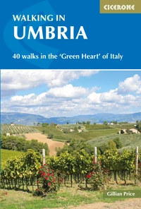
Walking in Umbria: a complete planning guide
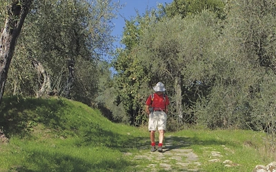
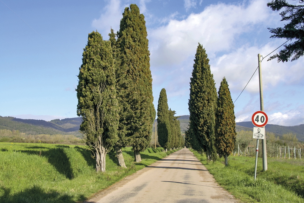
Landlocked Umbria is Italy's only landlocked region and, as any walker who has been there will tell you, one of its most rewarding. Rolling hills swathed in dense woods, hilltop after marvellous hilltop occupied by charming walled villages which time seems to have left untouched. This is the green heart of Italy, sandwiched between Rome and Florence yet remarkably unspoilt, where superb walking is available on hundreds of kilometres of marked paths in peace and quiet, week upon week. The 40 day walks described in Gillian Price's second edition guidebook range from gentle lakeside strolls to demanding ascents into the Sibillini, covering six distinct areas and taking in UNESCO World Heritage towns, Etruscan ruins, and nature reserves. (Last updated: June 2026 · Guidebook edition: 2nd edition, July 2019)
Walking in Umbria, quick facts:
- Location: Umbria, central Italy
- Total routes: 40 circular and point-to-point day walks
- Distance range: 2.5km to 19km (1.5 to 12 miles) per walk
- Typical duration:1 to 5 hours per walk
- Difficulty grades: Grade 1 (easy) to Grade 3 (strenuous), with the majority at Grade 2
- Terrain: Rolling hill paths, mountain tracks, lakeside circuits, ancient village streets, dense woodland, and nature reserves
- Highest point: Monte Patino area, Sibillini mountains
- Navigation: CAI red/white waymarks on most routes; some walks require careful use of the route description
- Best season: Spring (March to June) and autumn (September to October); year-round possible except Sibillini and Monte Cucco in winter
- Main bases: Perugia, Assisi, Gubbio, Norcia, Spoleto, Orvieto, Passignano sul Trasimeno
- Guidebook:Walking in Umbria by Gillian Price, 2nd edition
Walking in Umbria
40 walks in the 'Green Heart' of Italy
£16.95
This guidebook describes 40 walks in Umbria, among the ancient towns of Assisi, Perugia, Orvieto and Norcia. Known as the 'green heart' of Italy, the region of Umbria is home to hills reaching up to the Apennines and Sibillini mountains, and take in ancient villages, Roman and Etruscan ruins, dense woodland and nature reserves.
More information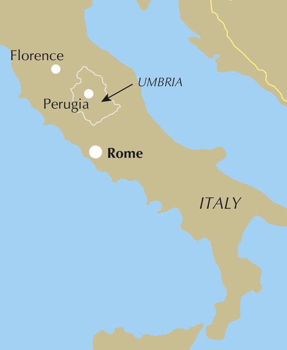
What is Walking in Umbria?
Walking in Umbria by Gillian Price is a day-walk collection covering the full geographic breadth of one of Italy's most captivating regions. The 40 routes are organised across six distinct areas: Alta Val Tiberina, Gubbio and Monte Cucco; Lago Trasimeno and its islands; Orvieto and Todi; Assisi and Monte Subasio; Spoleto and the Valnerina; and Norcia and the Sibillini mountains. Together they give a thorough introduction to walking in Umbria, from short island walks of under an hour to full-day mountain routes requiring a solid level of fitness.
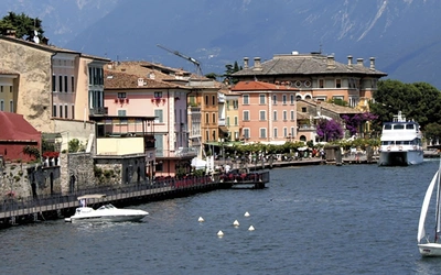
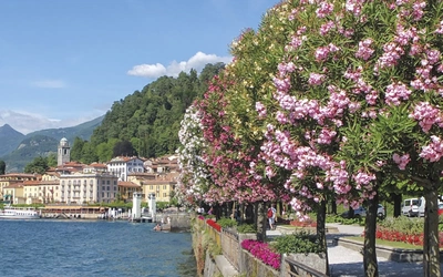
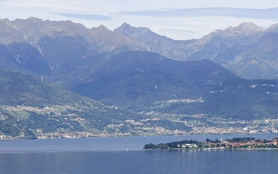
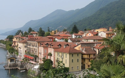
The region earns its nickname as the green heart of Italy. Where neighbouring Tuscany draws the crowds, Umbria proceeds at a gentler pace, its hilltowns and vine-terraced valleys largely unhurried. Walking here means passing through medieval village streets where little has changed in centuries, descending into wooded river gorges alive with birds of prey and wildflowers, and emerging onto open ridges with views across the Apennines. Several routes explore the shores and islands of Lago Trasimeno, Italy's fourth-largest lake, while the Sibillini section reaches into genuinely remote mountain terrain.
This guidebook is the first English-language walking guide to provide comprehensive coverage of walking possibilities across the whole of Umbria. For walkers planning time in any of the six main areas covered, it is the definitive starting point. For complete route descriptions and sketch maps for all 40 walks, see the Cicerone Walking in Umbria guidebook.
The 40 walks at a glance
The guidebook divides Umbria into six geographic chapters, each centred on a distinct area with its own character.
| Area | Distance range | Time range | Grades |
|---|---|---|---|
| 1 Alta Val Tiberina, Gubbio and Monte Cucco | 6.2–15km | 2hr 15min–4hr 15min | 1–2 to 2–3 |
| 2 Lago Trasimeno and environs | 2.5–15km | 1hr–3hr 40min | 1–2 |
| 3 Orvieto and Todi | 4.3–17km | 1hr–4hr 30min | 1–2–3 |
| 4 Assisi and around | 12.3–17km | 3hr 45min–5hr 10min | 2–2–3 |
| 5 Spoleto and the Valnerina | 5.2–19km | 1hr 20min–5hr 15min | 1–2 |
| 6 Norcia and the Sibillini | 9–15.5km | 3hr–5hr | 1–2 to 2 |
1 Alta Val Tiberina, Gubbio and Monte Cucco (Walks 1–8) covers the northern reaches of Umbria: eight walks around the ancient hilltowns of Montone and Monte Santa Maria Tiberina, the handsome medieval city of Gubbio, and the limestone peaks of Monte Cucco. This section includes the only Grade 2–3 mountain terrain in the collection.
2 Lago Trasimeno and environs (Walks 9–15) is the lake district chapter. Seven walks take in the ridge above Passignano, the battle site at Tuoro and Monte Gualandro, and the two lake islands of Isola Maggiore and Isola Polvese, the latter a nature reserve. Several routes here are suited to beginners and families.
3 Orvieto and Todi (Walks 16–23) is the most varied chapter, ranging from an easy ring walk around dramatic Orvieto to the longer traverse from Orvieto to Bolsena and full-day circuits around the rural landscapes of Titignano and Vasciano.
4 Assisi and around (Walks 24–27) covers four routes around one of Italy's most visited pilgrimage towns, including an ascent of Monte Subasio and a traverse from Bevagna to Montefalco through wine country.
5 Spoleto and the Valnerina (Walks 28–34) is the most varied section in terms of length and grade. Seven routes include town walks around Spoleto, a challenging 19km traverse along the historic railway line of the Valnerina, and mountain circuits in the wilder country to the south around Cascia and Monte Meraviglia.
6 Norcia and the Sibillini (Walks 35–40) is the most demanding chapter. Six routes explore the high terrain above Norcia, culminating in the Piano Grande di Castelluccio, the flower-filled plateau that blazes with colour in early June.
Who is Walking in Umbria suitable for?
Walking in Umbria is aimed at a broad audience. The majority of routes are at Grade 2, requiring a reasonable level of fitness but no technical experience or specialist equipment. A significant number of Grade 1 walks, including the short island circuits on Lago Trasimeno and the town walks around Spoleto and Orvieto, are well suited to beginners and those looking for a gentler day out.
The Grade 3 routes, principally in the Monte Cucco and Sibillini sections, involve exposed stretches and sustained ascent and are best reserved for walkers with some mountain experience. Dog walkers and families with older children will find plenty of suitable options in the Lago Trasimeno and Orvieto chapters.
A note for Spoleto visitors: Walk 30, the Spoleto to Sant'Anatolia di Narco traverse along the Valnerina railway tunnels, requires a headlamp and is not suitable for those uncomfortable with enclosed spaces.
How difficult are the walks?
The guidebook uses a three-grade system. Grade 1 routes are easy, on clear tracks and paths, and suitable for beginners. Grade 2 routes cross hill and mountain terrain with ups and downs and require a reasonable level of fitness. Grade 3 routes are strenuous, with some exposed sections and the possibility of prolonged ascent; experience and extra care are recommended.
The majority of the 40 walks fall at Grade 2. The longest and most challenging day is Walk 30 (Spoleto to Sant'Anatolia di Narco), at 19km and Grade 1–2 in terms of gradient but demanding due to its length. The highest-graded walks, at 2–3, include Walk 7 (Monte Cucco) and Walks 24 and 25 (Bettona–Collemancio and Monte Subasio). The Sibillini routes (Walks 37–40) offer the most serious mountain terrain.
Note that route conditions are subject to ongoing change following the 2016 earthquake, which continues to affect parts of the region around Norcia and Castelluccio. Walk 35 (Preci to Sant'Eutizio) is significantly affected by closures, and Castelluccio was not fully accessible at time of writing. Check the free route updates on the Cicerone website before setting out.
When is the best time to walk in Umbria?
Umbria can be walked year-round, though spring and autumn are the best times.
Spring (March to early June) is the finest season for most walks. Long spells of clear weather, cool mornings and evenings, and warm days make for ideal conditions. Wildflowers are exceptional from April onwards, with meadows of crocus, primrose, and orchids giving way to the extraordinary floral display on the Piano Grande di Castelluccio in early June, when the plateau blazes with mustard yellow, cornflower blue, and poppy red.
Summer (late June to August) can bring intense heat in the valleys and towns, but the higher mountain routes around Monte Cucco and the Sibillini offer a cool and rewarding alternative. The region is busier at this time, particularly in Assisi, Gubbio, and Orvieto.
Autumn (September to October) is a strong second choice: crisp air, clear visibility, and excellent light for photography. Mushroom foraging is a local passion, and the vineyards and olive groves take on warm colour. A note of caution: the hunting season runs through the winter months, with organised wild boar hunts using large groups of dogs and armed participants. Walkers should avoid any area where a hunt is in progress.
Winter (November to February) closes the higher mountain districts. The Sibillini and Monte Cucco can be snowbound from December to March, with year-to-year variation. Lower-level and town walks remain accessible throughout.
What accommodation is available near the walks?
Each of the six areas has at least one well-served base town with a good range of accommodation. The guidebook appendix lists a selection of mid-range hotels and B&Bs convenient for each set of walks, covering cosy family-run places, comfortable hotels in historic palaces, rustic mountain refuges, converted monasteries, and simple B&Bs in small villages.
Advance booking is generally not required except during Italian public holidays and peak summer weekends, particularly in Assisi, Gubbio, Perugia, and Spoleto. Castelluccio, at the heart of the Sibillini, is in high demand during the Fiorita flowering period in early June and books up quickly.
For a wider choice including agriturismo (farm stays), self-catering, and camping, the local tourist offices listed in Appendix C are the best resource. Half-board (mezza pensione) is sometimes available and usually represents good value.
How do I get to Umbria?
Several international airports serve the region. The most convenient is Perugia (aeroporto.umbria.it), with ongoing public transport connections into the region. On the Adriatic coast, Ancona and Pescara are options, while Pisa serves those approaching from the west. Both of Rome's airports, Fiumicino and Ciampino, are well connected to Umbria by bus and train, with long-distance coaches linking Fiumicino directly with Todi, Perugia, and Assisi.
For getting around Umbria, the centralised Umbria Mobilità network (umbriamobilita.it) covers buses, trains, and ferries across the region. Many walks are accessible by public transport, though some require private transport or a local taxi arranged through your hotel. Tickets for buses should be purchased before boarding and stamped on board; trains use Trenitalia for mainline routes and FCU for the Terni–Perugia–Sansepolcro lines.
What are the highlights of walking in Umbria?
- Orvieto is one of Italy's most dramatically positioned towns, sitting atop a tufa plateau above vineyards. Walks 16 and 17 explore the town and its extraordinary medieval aqueduct; Walk 18 links Orvieto to the volcanic crater lake at Bolsena.
- Lago Trasimeno offers peaceful lakeside and island walking far from the usual Italian tourist trail. Isola Maggiore (Walk 11) and Isola Polvese (Walk 12) are short, ferry-accessible circuits with real charm.
- Assisi and Monte Subasio need little introduction as a UNESCO World Heritage site, but Walk 25 takes walkers up onto the open ridge of Monte Subasio above the town for views across the Apennines.
- The Valnerina is a little-known river gorge running through the heart of southern Umbria. Walk 30 follows the line of a disused railway through its tunnels from Spoleto to Sant'Anatolia di Narco, a route unlike anything else in the book.
- The Piano Grande di Castelluccio (Walk 39) is one of the most famous landscapes in central Italy: a vast upland plain ringed by the Sibillini peaks, most spectacular in early June when the wildflower bloom is at its peak.
- Gubbio is one of Umbria's best-preserved medieval cities. Walks 5 and 6 explore the hills above the town with views across the wide plain below.
Plan your walk with the Cicerone guidebook
The Cicerone Walking in Umbria guidebook by Gillian Price contains everything you need to plan and complete all 40 walks, from a short island stroll on Lago Trasimeno to a full mountain day in the Sibillini.
- 40 day walks graded 1 to 3 and organised across six distinct geographic areas
- Sketch maps for every walk with key landmarks and route detail
- Full route descriptions for all 40 walks, including partial timings and waymark information
- Route summary table (Appendix A) listing all 40 walks by distance, grade, time, and start/finish point for easy planning
- Background sections covering Umbria's history, plants, flowers, wildlife, food and drink, and local transport
- Accommodation listings (Appendix C) for each of the six areas, covering hotels, B&Bs, and mountain refuges
- Italian–English glossary (Appendix B) with practical phrases for transport and emergencies
- Free route updates available on the Cicerone website, covering ongoing changes following the 2016 earthquake
Available as a printed guidebook (£16.95) or digital eBook.
Walking in Umbria
40 walks in the 'Green Heart' of Italy
£16.95
This guidebook describes 40 walks in Umbria, among the ancient towns of Assisi, Perugia, Orvieto and Norcia. Known as the 'green heart' of Italy, the region of Umbria is home to hills reaching up to the Apennines and Sibillini mountains, and take in ancient villages, Roman and Etruscan ruins, dense woodland and nature reserves.
More informationAbout Gillian Price, guidebook author
Gillian Price has trekked throughout Asia and the Himalayas, but now lives in Venice and is exploring the mountains and flatter bits of Italy. Starting in the Italian Dolomites, Gillian has written outstanding Cicerone guides to walking all over Italy as well as Corsica and Corfu. An adamant promoter of public transport to minimise environmental impact, Gillian belongs to Mountain Wilderness and is an active member of the Venice branch of CAI, the Italian Alpine Club. Check her out at www.gillianprice.eu.