Article

Cicerone guidebooks for many of the long-distance routes and National Trails of northern England, with OS map booklets. Cross the Pennines from coast to coast.
32 Books Available
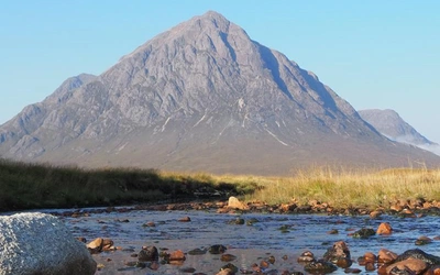
Perhaps the best known, and oldest national trail is The Pennine Way, which follows the spine of the Pennines for 435km (270 miles) from Edale in the Peak District northwards to the borders at Kirk Yetholm. The landscape is wild upland, often moorland with more than the occasional bog to cross, but as a national trail the path is well maintained. Overnight accommodation can be found in villages and towns in the valleys.
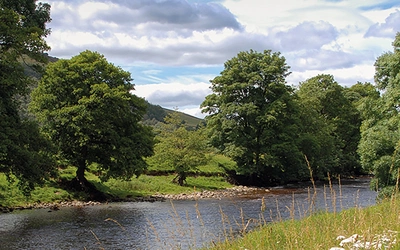
Walking from Coast to Coast is the perfect way to sample all that is best about the north of England. The treats keep coming – the spectacular coast and cliffs of St Bees on the Irish Sea, a crossing of the Lake District then into the Yorkshire Dales, exploring the length of Swaledale, then on to Richmond before crossing the vale of York and into the magnificent Cleveland Hills and North York Moors. The final few miles along the clifftop path on the Cleveland Way overlooking the North Sea are exhilarating, before arriving in the tiny harbour of Robin Hoods Bay.
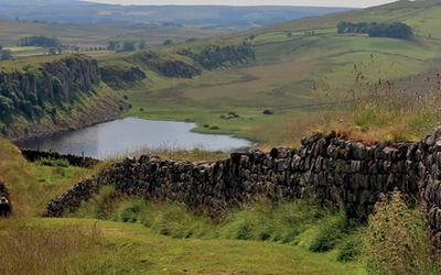
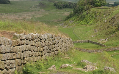
Another coast to coast national trail is Hadrian's Wall Path, a 135km (84 mile) route following as close as possible, and sometimes actually on the ancient World Heritage Site of Hadrian's Wall. The guidebook comes with an OS 1:25,000 map booklet, so navigation during the day is easy, while the guidebook provides detailed background information on the various sites along the route, including Birdoswald, Vindolanda, Chesters, Housesteads and many other sites. A similar Hadrian's cycleway can be followed if you are on a bike, although generally the cycle route stays a little further away from the wall itself.
The Dales Way is included in this selection, as it too crosses the Pennines between Ilkley in west Yorkshire, through the southern and western Dales, passing through Grassington, Burnsall, Kettlewell, Buckden, Dentdale, Sedbergh, then into the Lake District National Park just to the north of Kendal, to reach Bowness on Windermere. At 127km (79 miles) it can be accomplished by most walkers, and is never too difficult, making it an ideal first long-distance route to tackle.
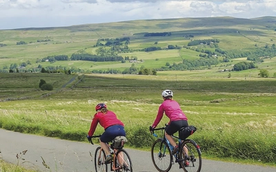
For coast to coast cycling, the C2C Cycle route is perhaps the best known route, stretching for 140 miles between the west coast and the north sea, crossing the Lake District, the Pennines and then on glorious long gentle downhills all the way to Newcastle (Tynemouth) or Sunderland. Meanwhile The Way of the Roses takes a 170 mile route to the south, between Morecambe, just to the west of Lancaster, across the Pennines and down Nidderdale to the North Sea coast at Bridlington.
13 Articles Available