Article

Guidebooks for walking and scrambling in the mountains of Snowdonia and the Brecon Beacons, coastal walks, long-distance trails and cycle touring.
33 Books Available
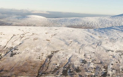
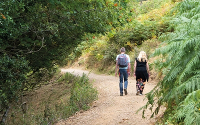
The mountains of Snowdonia are a wonderland for walkers of all abilities, and many offer challenging and airy ridge routes and scrambles, while for easier days there are 60 mainly low-level walks in the collection of two volumes covering Low Level and easy walks in Snowdonia. If you fancy a long-distance walk right through the region, then The Snowdonia Way provides both lower level and high options walking from Machynlleth to Conwy.
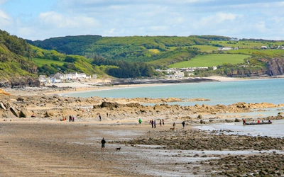
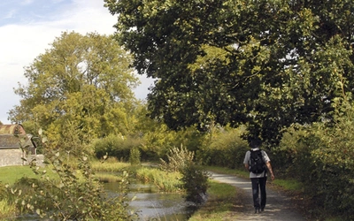
There are many excellent long-distance walking routes in Wales, including three national trails; The Pembrokeshire Coast Path, Offa's Dyke Path which follows the ancient border from near Chepstow to Prestalyn, and Glyndwr's Way – another historic trail from Knighton to Welshpool via Machynlleth. Straddling the borders of England and Wales, river valleys entice the long-distance walker from their remote mountain sources to the sea. The Severn Way, a 210 mile trail from its source in Powys to Bristol, the Wye Valley Walk from Chepstow to Plynlimon. There is also a guide to a selection of day walks in the Wye Valley.
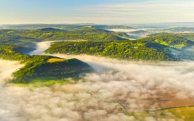
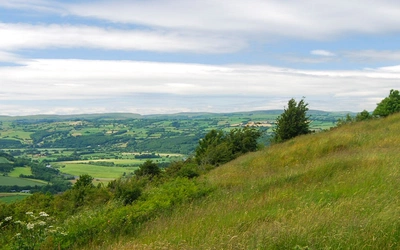
The hills of the Brecon Beacons, provide the starting point for the challenging Cambrian Way, a 470km unwaymarked trek from Cardiff to Conwy, while for a really long walk, the cliffs and beaches of the Wales Coast Path offer superb walking over 870 miles between Chester and Bristol.
There are guidebooks for day walks in other areas too, including Pembrokeshire, The Gower, Shropshire, Carmarthenshire and the Forest of Dean. So whether it's an easy coastal stroll or a hike along airy and rugged mountain ridges, Wales has much to offer.
26 Articles Available