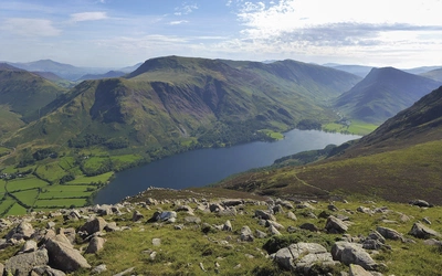
Fells and lakes of the Lake District
The Lake District National Park is central to the county of Cumbria in north-west England. For outdoor activities there is a wide range of choice, from easy lakeside walks, walking routes on the high fells including the best-known tops of Scafell Pike and Helvellyn, scrambles and climbs, multi-day walking itineraries and plenty of activities for families too. As well as being a national park it is also an UNESCO World Heritage Site, the unique and beautiful landscape protected for the future.
Introduction to the Lake District
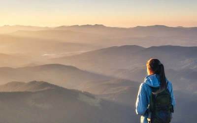
The best way to experience the Lake District is to begin with a selection of day walks, building to longer excursions as you build fitness and confidence. These books offer a good starting point.


Fells of the Lake District – 'Fellranger' summits
A complete set of eight guidebooks to the Lake District fells (see above) is available in a new practical format. The work of Mark Richards over many years of exploration, this is a fantastic resource for anyone wanting to explore the Lake District in more depth. As of 2019 the list of Fellranger summits now stands at 230, (previously 227 fells) while the traditional Wainwrights list features 214 fell summits.
Walkers who have reached the summit of all the Fellranger fells can register their achievement in Register 2 on www.ldwa.org.uk, selecting 2D for the 'Fellrangers' list. A separate list in Register 2 covers the Wainwrights. To submit a claim to be added to the register, there is a 'claim form' to download, complete and return to the Long Distance Walkers Association.
The determination of separate fell status is an inexact science. Considerations such as height, bearing, character and summit situation all come into play and everyone and anyone can have a view!
If you are an experienced hill walker, you may want to try a multi-day route through the Lake District:
Two multi day walks exploring the Lake District are shown below, but it's worth remembering that the Coast to Coast walk crosses the Lake District before continuing on in the the Yorkshire Dales, on the way to the North Sea at Robin Hood's Bay.
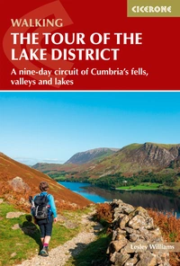
Walking the Tour of the Lake District
A nine-day circuit of Cumbria's fells, valleys and lakes
£16.95
Guidebook to a 145km (90 mile) circular walking route from Ambleside around the Lake District National Park, visiting all the main valleys and local centres. Described in 9 stages, with 5 high-level alternatives to climb the highest mountains in this World Heritage area. Includes a prologue from Windermere. Suitable for most walkers.
More information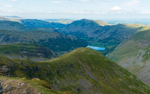
Cycling and mountain-biking
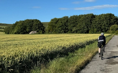
Known as the Adventure Capital of England, the opportunities for cycling, cycle touring and mountain biking are exceptional, and the scenery is great too!
There are currently two guidebooks entirely for the Lake District, but remember that the C2C and Reivers cycle routes also pass through the Lake District.
Mountain Biking in the Lake District: 24 graded routes
Cycling in the Lake District: 5-day 186 mile cycle tour and 15 tough day rides, including the Fred Whitton Challenge
C2C Cycle route: Across Cumbria and northern England
Reivers cycle route: to be published summer 2021.

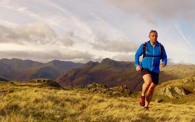
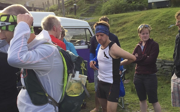
Where fell running began...
Although the sport of running over mountainous terrain dates back amazingly to the 11th century in Scotland, Fell running in more recent times is particularly popular in the Lake District. Numerous races are usually organised throughout the year, including the Lakes in a day challenge race, and the Bob Graham Round.


Superb rock for climbers and scrambling


An outdoor playground for the entire family
The Lake District is an ideal destination for families, and this little book provides a huge selection of inspiring ideas to keep the kids, and adults happily amused all day, and even suggests some overnight adventures.
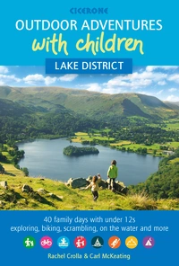
Outdoor Adventures with Children - Lake District
40 family days with under 12s exploring, biking, scrambling, on the water and more
£12.95
Guidebook to 40 outdoor adventures in the Lake District with children under 12, including walking, cycling, orienteering, paddling, boating, hostelling and more. Graded activities for varying age ranges or for families with children of different ages.
More information